Rirpu
| Rirpu | |
|---|---|
 Rirpu Location within Bolivia | |
| Highest point | |
| Elevation | 3,710 m (12,170 ft) [1] |
| Coordinates | 17°48′48″S 65°40′56″W / 17.81333°S 65.68222°WCoordinates: 17°48′48″S 65°40′56″W / 17.81333°S 65.68222°W |
| Geography | |
| Location |
Bolivia, Cochabamba Department |
| Parent range | Andes |
Rirpu[1] (Quechua for mirror,[2] possibly erroneously also spelled Sirpu)[3] is a 3,710-metre-high (12,170 ft) mountain in the Bolivian Andes. It is located in the Cochabamba Department, Mizque Province, Alalay Municipality. It lies southwest of Wanq'uni.[1][3]
References
Capital: Cochabamba | ||
| Provinces | 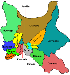 | |
| Municipalities (and seats) |
| |
This article is issued from
Wikipedia.
The text is licensed under Creative Commons - Attribution - Sharealike.
Additional terms may apply for the media files.