R702 road
| |
|---|---|
| Route information | |
| Length | 49 km (30 mi) |
| Location | |
| Primary destinations |
|
| Road network | |

The R702 road is a regional road in Ireland which runs west-east from the R712 at Coolgrange in County Kilkenny through Gowran before crossing into County Carlow at Goresbridge. It continues to Borris, passes through the Blackstairs Mountains via the Scullogue Gap into County Wexford and continues east until it terminates at a junction with the N30 in Enniscorthy.
The official description of the R702 from the Roads Act 1993 (Classification of Regional Roads) Order 2012 [1] reads:
- R702: Coolgrange — Gowran, County Kilkenny — Enniscorthy, Co. Wexford
- Between its junction with R712 at Coolgrange and its junction with R448 at Main Street Gowran via Gallowshill all in the county of Kilkenny
- and
- between its junction with R448 at Gowran Demesne in the county of Kilkenny and its junction with N30 at Abbey Square in the town of Enniscorthy via Grange Lower; High Street and Bridge Street at Goresbridge in the county of Kilkenny: Ballyellin, Ballyteiglea, Borris, Barmona, Kyle, Ballymurphy, Rathgem and Coonogue in the county of Carlow: Kiltealy, Wheelagower, Monart West, Milehouse and Bellfield Road Enniscorthy in the county of Wexford: Duffry Gate, Cathedral Street, Main Street, Market Square (and via Wafer Street), Castle Street and Castle Hill in the town of Enniscorthy.
The route is 49 km (30 mi) long.
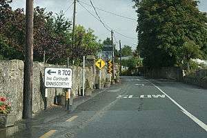
R702 through Ballymurphy
See also
References
- ↑ Statutory Instrument 54 of 2012 — Roads Act 1993 (Classification of Regional Roads) Order 2012, Irish Statute Book (irishstatutebook.ie). Retrieved 2017-02-02.
This article is issued from
Wikipedia.
The text is licensed under Creative Commons - Attribution - Sharealike.
Additional terms may apply for the media files.