R465 road (Ireland)
| |
|---|---|
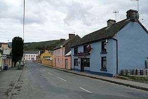 Broadford Main Street, part of the R465. | |
| Route information | |
| Length | 23.2 km (14.4 mi) |
| Major junctions | |
| From |
|
|
Crosses Ballymacdonnell River Passes through Doon Lough Natural Heritage Area Crosses Glenomra River Crosses Munster Blackwater | |
| To |
|
| Road network | |

The R465 road, also called the Broadford Road, is a regional road in Ireland, located in County Clare.[1][2]
References
- ↑ "R465 - Roader's Digest: The SABRE Wiki". www.sabre-roads.org.uk. Retrieved 2017-07-29.
- ↑ "Clare County Council" (PDF). www.clarecoco.ie.
Coordinates: 52°43′47″N 8°36′06″W / 52.729719°N 8.601724°W
This article is issued from
Wikipedia.
The text is licensed under Creative Commons - Attribution - Sharealike.
Additional terms may apply for the media files.