Queen Elizabeth II Bridge, Newcastle upon Tyne
| Queen Elizabeth II Metro Bridge | |
|---|---|
.jpg) The Queen Elizabeth II Metro Bridge in 2013 | |
| Coordinates | 54°57′52″N 1°36′50″W / 54.9645°N 1.6139°W |
| OS grid reference | |
| Carries | Tyne and Wear Metro |
| Crosses | River Tyne |
| Locale | Tyneside |
| Official name | Queen Elizabeth II Bridge |
| Owner | Nexus |
| Maintained by | Nexus Rail |
| Characteristics | |
| Design | Steel truss construction with fabricated box chords[1] |
| Total length | 352.7 m (1,157 ft)[1] |
| Width | 10.31 m (33.8 ft) |
| Longest span | 164.7 m (540 ft) |
| Clearance below | 25 m (82 ft) |
| Rail characteristics | |
| No. of tracks | 2 |
| Track gauge | 1,435 mm (4 ft 8 1⁄2 in) |
| Electrified | 1500 V DC |
| History | |
| Designer | W. A. Fairhurst & Partners |
| Constructed by |
|
| Construction start | 1976 [1] |
| Construction end | August 1978 [2] |
| Inaugurated |
|
| Opened | 15 November 1981[1] |
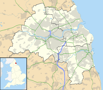 Queen Elizabeth II Metro Bridge Location in Tyne and Wear | |
| Railways between Newcastle and Gateshead |
|---|
The Queen Elizabeth II Bridge carries the Tyne and Wear Metro between Newcastle upon Tyne and Gateshead over the River Tyne in North East England. The line is in tunnels on either side of the river and only emerges into open air to cross the bridge.
History
.jpg)
The bridge was developed as part of the Tyne and Wear Metro system, for which it was purpose-built. It was designed by W. A. Fairhurst & Partners, and constructed by Cementation Construction Ltd. and the Cleveland Bridge & Engineering Company at a cost of £4.9 million.[1] The two sections of the bridge were built simultaneously from each bank and eventually met in the centre in August 1978.[3] It was officially opened by Queen Elizabeth II on 6 November 1981, nine days before regular Metro service began.[1]
It was one of two major bridges built specifically for the Tyne and Wear Metro, the other being the Byker Viaduct crossing the Ouseburn valley.[4]
Nocturne artwork
In 2006, Nexus, operators of the Metro, commissioned artist Nayan Kulkarni to install a huge artwork on the bridge. The artwork, Nocturne, sees the bridge painted two distinct tones of blue, while at night, 140 Lumiflood 36 LED lighting units[5] create an ever-changing pattern of colours based on photographs submitted by members of the public.[5]
Nocturne was completed and opened on 26 April 2007[6] and means that all five main bridges across the Tyne between Gateshead and Newcastle have unique lighting schemes.
References
- 1 2 3 4 5 6 "Structure Details: Queen Elizabeth II Bridge". Structural Images of the North East (SINE). Newcastle University. Archived from the original on 15 May 2011. Retrieved 18 June 2007.
- ↑ "Construction photograph of the Queen Elizabeth II Bridge, Newcastle upon Tyne 1977". Newcastle City Council. Retrieved 18 June 2007.
- ↑ "Building Bridges". Tyne & Wear Archives & Museums. Archived from the original on 13 September 2014. Retrieved 12 September 2014.
- ↑ "Meet Your Metro" 1978 information booklet produced by Tyne and Wear Passenger Transport Executive.
- 1 2 "Nocturne Lighting Launched" (Press release). Lumivision Architectural Lighting. Retrieved 27 May 2007.
- ↑ "Nocturne – Britain's biggest new artwork is born" (Press release). Nexus. 26 April 2007. Archived from the original on 24 December 2007. Retrieved 27 April 2007.
Further reading
- Pevsner, Nikolaus; Richmond, Ian; Grundy, John; McCombie, Grace; Ryder, Pete; Welfare, Humphrey (2001) [First published 1957]. The Buildings of England: Northumberland (2nd ed.). London: Penguin Books. p. 460. ISBN 978-0140710151.
External links
| Wikimedia Commons has media related to Queen Elizabeth II Metro Bridge. |
| Next bridge upstream | River Tyne | Next bridge downstream |
| King Edward VII Bridge East Coast Main Line |
Queen Elizabeth II Bridge Grid reference: NZ248634 |
High Level Bridge B1307 road and Durham Coast Line |