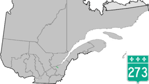
Quebec Route 273
| ||||
|---|---|---|---|---|
 | ||||
| Route information | ||||
| Length | 21.0 km[1] (13.0 mi) | |||
| Major junctions | ||||
| North end |
| |||
|
| ||||
| South end |
| |||
| Location | ||||
| Major cities | Saint-Apollinaire, Saint-Antoine-de-Tilly | |||
| Highway system | ||||
| ||||

Route 273 is a short 21 km long, two-lane north/south highway on the south shore of the Saint Lawrence River in Quebec, Canada. Its northern terminus is in Saint-Antoine-de-Tilly at the junction of Route 132, and the southern terminus is at the junction of Route 269 near Saint-Gilles.
Towns along Route 273
See also
References
- ↑ Ministère des transports, "Distances routières", page (?), Les Publications du Québec, 2005
External links
- Provincial Route Map (Courtesy of the Quebec Ministry of Transportation) (in French)
- Route 273 on Google Maps
This article is issued from
Wikipedia.
The text is licensed under Creative Commons - Attribution - Sharealike.
Additional terms may apply for the media files.