Q'illu Q'asa (Cochabamba)
| Qucha Quchayuq Urqu | |
|---|---|
 Qucha Quchayuq Urqu Location in Bolivia | |
| Highest point | |
| Elevation | 4,200 m (13,800 ft) [1] |
| Coordinates | 17°33′09″S 65°33′01″W / 17.55250°S 65.55028°WCoordinates: 17°33′09″S 65°33′01″W / 17.55250°S 65.55028°W |
| Geography | |
| Location |
Bolivia, Cochabamba Department |
| Parent range | Andes |
Q'illu Q'asa (Quechua q'illu yellow, q'asa mountain pass,[2] "yellow mountain pass", also spelled Khellu Khasa) is a mountain in the Bolivian Andes which reaches a height of approximately 4,200 m (13,800 ft). It is located in the Cochabamba Department, Arani Province, Vacas Municipality. It lies southwest of Qucha Quchayuq Urqu.[1][3]
References
Capital: Cochabamba | ||
| Provinces | 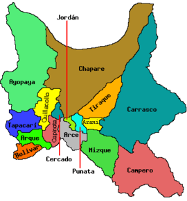 | |
| Municipalities (and seats) |
| |
This article is issued from
Wikipedia.
The text is licensed under Creative Commons - Attribution - Sharealike.
Additional terms may apply for the media files.