Pulandian District
| Pulandian 普兰店区 | ||||||||||||||||||||||||||||||||||
|---|---|---|---|---|---|---|---|---|---|---|---|---|---|---|---|---|---|---|---|---|---|---|---|---|---|---|---|---|---|---|---|---|---|---|
| District | ||||||||||||||||||||||||||||||||||
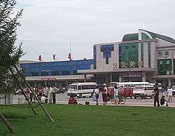 Pulandian Railway Station (2002) | ||||||||||||||||||||||||||||||||||
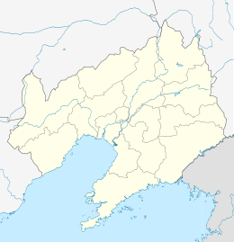 Pulandian Location in Liaoning | ||||||||||||||||||||||||||||||||||
| Coordinates: 39°24′32″N 121°58′01″E / 39.409°N 121.967°ECoordinates: 39°24′32″N 121°58′01″E / 39.409°N 121.967°E[1] | ||||||||||||||||||||||||||||||||||
| Country | People's Republic of China | |||||||||||||||||||||||||||||||||
| Province | Liaoning | |||||||||||||||||||||||||||||||||
| Sub-provincial city | Dalian | |||||||||||||||||||||||||||||||||
| Seat | No. 12 Fuqian Road (府前路12号) | |||||||||||||||||||||||||||||||||
| Area[2] | ||||||||||||||||||||||||||||||||||
| • Total | 2,769.90 km2 (1,069.46 sq mi) | |||||||||||||||||||||||||||||||||
| Population (2010)[3] | ||||||||||||||||||||||||||||||||||
| • Total | 741,230 | |||||||||||||||||||||||||||||||||
| • Density | 270/km2 (690/sq mi) | |||||||||||||||||||||||||||||||||
| Time zone | UTC+8 (China Standard) | |||||||||||||||||||||||||||||||||
| Postal code | 116200 | |||||||||||||||||||||||||||||||||
| Dalian district map |
| |||||||||||||||||||||||||||||||||
| Division code | 210214 | |||||||||||||||||||||||||||||||||
| Website |
www | |||||||||||||||||||||||||||||||||

Pulandian District (simplified Chinese: 普兰店区; traditional Chinese: 普蘭店區; pinyin: Pǔlándiàn Qū) is one of the seven districts under the administration of Dalian, located in the south of Liaoning province, People's Republic of China. Its area is 2,769.90 square kilometres (1,069.46 sq mi) and its permanent population as of 2010 is 741,230.[2][3] The district borders the prefecture-level city of Yingkou to the north.
Geography
Pulandian District is located in the northern part of Dalian on the Liaodong Peninsula. It covers an area of 6968 square kilometers. It borders Zhuanghe to the east, Wafangdian to the west, Jinzhou District to the south and Greater Yingkou to the north. Its area is 2923 square kilometres.
Pulandian has a long coast line on the Yellow Sea in its southeastern part and a short coastline on the Bohai Sea in its southwestern part.
Administrative divisions
There are 15 subdistricts, 6 towns, and 3 townships under the district's administration.[4]
Subdistricts:
|
|
Towns:
|
|
Townships:
- Mopan Township (墨盘乡)
- Tongyi Township (同益乡)
- Lejia Manchu Ethnic Township (乐甲满族乡)
Demography
Pulandian has a population of 915,595.(est. 2015)
Economy
Pulandian's industries are agriculture, fishing and the three main manufacturing industries: fabrics, electric machinery and food.
Transportation
- Harbin-Shenyang-Dalian Railway
- Harbin-Shenyang-Dalian High Speed Railway (to be completed in 2013)
- Shenyang-Dalian Expressway
References
- ↑ Google (2014-07-02). "Pulandian" (Map). Google Maps. Google. Retrieved 2014-07-02.
- 1 2 Dalian Statistical Yearbook 2012 (《大连统计年鉴2012》). Accessed 8 July 2014.
- 1 2 2010 Census county-by-county statistics (《中国2010年人口普查分县资料》). Accessed 8 July 2014.
- ↑ 大连市-行政区划网