Xinglongtai District
| Xinglongtai District 兴隆台区 | |
|---|---|
| District | |
 Xinglongtai in Panjin | |
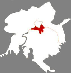
.png) Panjin in Liaoning | |
| Coordinates: 41°09′31″N 122°04′12″E / 41.1587°N 122.0699°ECoordinates: 41°09′31″N 122°04′12″E / 41.1587°N 122.0699°E | |
| Country | People's Republic of China |
| Province | Liaoning |
| Prefecture-level city | Panjin |
| Time zone | UTC+8 (China Standard) |
Xinglongtai District (simplified Chinese: 兴隆台区; traditional Chinese: 興隆台區; pinyin: Xīnglóngtái Qū) is a district under the administration of the city of Panjin, Liaoning province, People's Republic of China. It has a total area of 194 square kilometres (75 sq mi), and a population of approximately 370,000 people. The district's postal code is 124010, and the district government is located on Shiyou Street.
Administrative divisions
Xinglongtai District administers 18 subdistricts:
- Zhenxing Subdistrict (振兴街道), Xinglong Subdistrict (兴隆街道), Bohai Subdistrict (渤海街道), Xingong Subdistrict (新工街道), Yulou Subdistrict (于楼街道), Gaosheng Subdistrict (高升街道), Shuguang Subdistrict (曙光街道), Youyi Subdistrict (友谊街道), Hongcun Subdistrict (红村街道), Ping'an Subdistrict (平安街道), Xinsheng Subdistrict (新生街道), Huanxi Subdistrict (欢喜街道), Shencai Subdistrict (沈采街道), Cicai Subdistrict (茨采街道), Jincai Subdistrict (锦采街道), Xinghai Subdistrict (兴海街道), Xingsheng Subdistrict (兴盛街道), Chuangxin Subdistrict (创新街道)
References
External links
This article is issued from
Wikipedia.
The text is licensed under Creative Commons - Attribution - Sharealike.
Additional terms may apply for the media files.