Pukarani (Peru)
| Pukarani | |
|---|---|
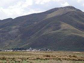 The village of Nicasio with Pukarani in the background | |
| Highest point | |
| Elevation | 4,301.9 m (14,114 ft) [1] |
| Coordinates | 15°14′28″S 70°16′40″W / 15.24111°S 70.27778°WCoordinates: 15°14′28″S 70°16′40″W / 15.24111°S 70.27778°W |
| Geography | |
 Pukarani Peru | |
| Location | Peru, Puno Region, Lampa Province |
| Parent range | Andes |
Pukarani (Aymara pukara fortress or a mountain of protection,[2] -ni a suffix to indicate ownership, "the one with a fortress", Hispanicized spelling Pucarani) is a mountain with an archaeological site of the same name in the Andes of Peru, about 4,301.9 m (14,114 ft) high. It is located in the Puno Region, Lampa Province, Nicasio District.[3]
The archaeological site of Pukarani was declared a National Cultural Heritage by Resolución Directoral Nacional No. 79.[4] It lies north of the mountain and archaeological site of Intikancha.
References
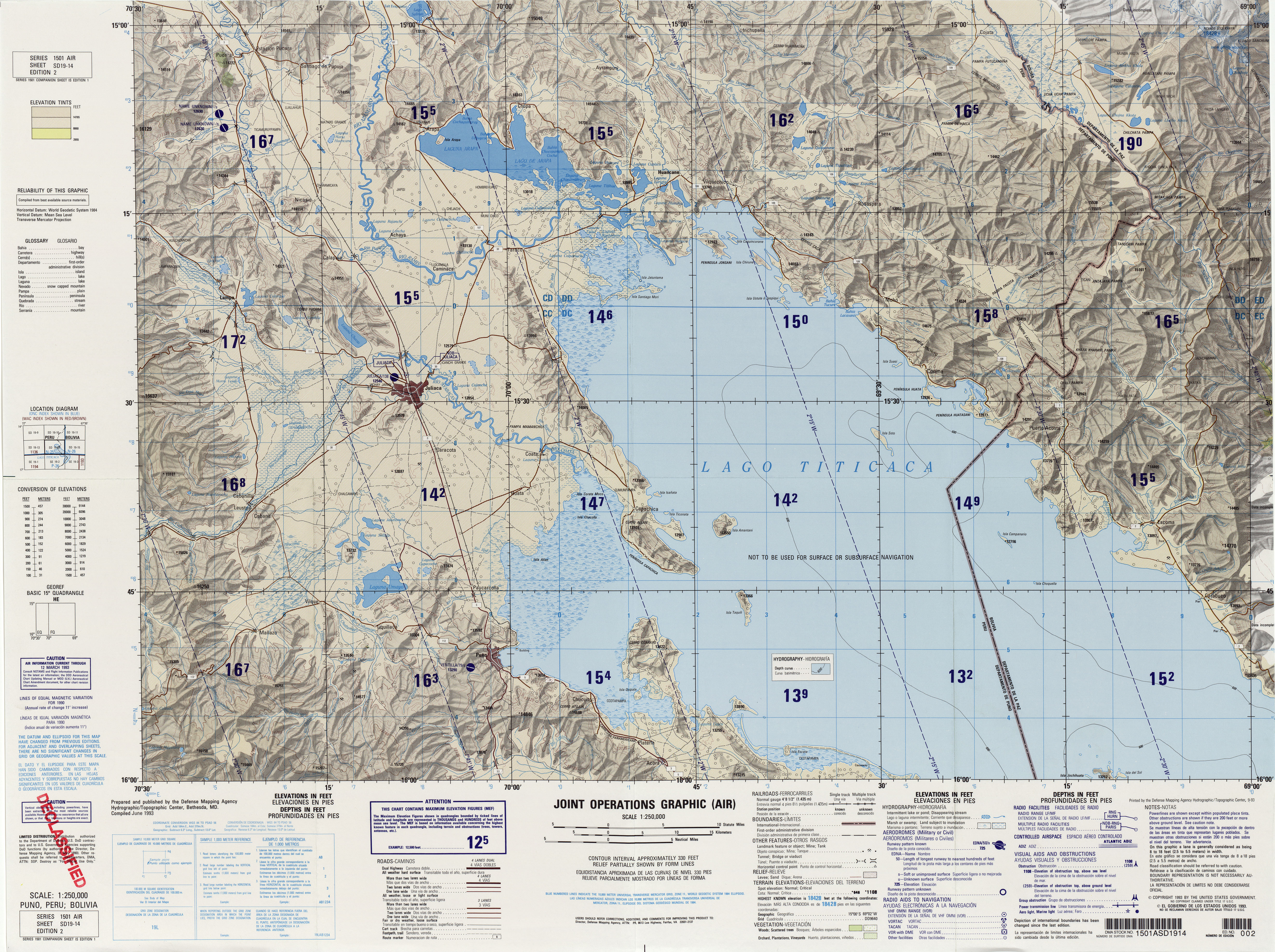
- ↑ "South America Maps". Joint Operations Graphic. Retrieved July 3, 2014.
- ↑ Ministerio de Educación, Dirección National de Educación Bilingue Intercultural, Yatiqirinaka Aru Pirwa, Lima, 2005 (Aymara-Spanish dictionary)
- ↑ escale.minedu.gob.pe - UGEL map of the Lampa Province (Puno Region)
- ↑ Patrimonio Cultural de la Nación (pdf)
This article is issued from
Wikipedia.
The text is licensed under Creative Commons - Attribution - Sharealike.
Additional terms may apply for the media files.