Pragsdorf
| Pragsdorf | |
|---|---|
 Pragsdorf Location of Pragsdorf within Mecklenburgische Seenplatte district 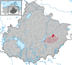 | |
| Coordinates: 53°32′08″N 13°24′00″E / 53.53556°N 13.40000°ECoordinates: 53°32′08″N 13°24′00″E / 53.53556°N 13.40000°E | |
| Country | Germany |
| State | Mecklenburg-Vorpommern |
| District | Mecklenburgische Seenplatte |
| Municipal assoc. | Stargarder Land |
| Government | |
| • Mayor | Eckhardt Beitz |
| Area | |
| • Total | 14.32 km2 (5.53 sq mi) |
| Elevation | 56 m (184 ft) |
| Population (2017-12-31)[1] | |
| • Total | 493 |
| • Density | 34/km2 (89/sq mi) |
| Time zone | CET/CEST (UTC+1/+2) |
| Postal codes | 17094 |
| Dialling codes | 03966 |
| Vehicle registration | MST |
| Website | www.stargarder-land.de |
Pragsdorf is a municipality in the district Mecklenburgische Seenplatte, in Mecklenburg-Vorpommern, Germany.
References
This article is issued from
Wikipedia.
The text is licensed under Creative Commons - Attribution - Sharealike.
Additional terms may apply for the media files.