Porus, Jamaica
| Porous | |
|---|---|
| Community | |
 Porous | |
| Coordinates: 18°01′56″N 77°24′46″W / 18.0321582°N 77.412715°WCoordinates: 18°01′56″N 77°24′46″W / 18.0321582°N 77.412715°W | |
| Country | Jamaica |
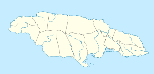
| Parish | Manchester |
| Founded | 1840 |
| Founded by | James Phillippo |
| Elevation | 143 m (469 ft) |
| Population .[1] | |
| • Estimate (2009) | 6,003 |
| Time zone | UTC-5 (EST) |
Porous is a village in Manchester, Jamaica that overlooks a plain to the south, with hills behind it to the north.[2] A tributary of the Rio Minho runs parallel to the main road, helping to keep the atmosphere cool.[2]
History
Porous was founded 1840 by the missionary James Phillippo as a free village for ex-slaves following emancipation.[2] It was his sixth such village.[2] It was originally called Vale Lionel after the then Governor of Jamaica, Sir Lionel Smith,[2] but was soon renamed "Porous" most probably after the porous soil in the vicinity.[2]
In its early days, its population was very small although it boasted a large coffee market.[2] It is now a thriving community of predominantly small farmers and artisans.[2]
Transport
Road
Porous is on the A2 road which runs from Spanish Town in south central Jamaica to Savanna-la-Mar on the south west coast.[3]
Rail
From 1895 to 1992 Porous was served by Porous railway station on the Kingston to Montego Bay line. Although all services on the line have ceased, the extensive (for Jamaica) station buildings remain. Future generations are hoping to rebuild these services better than ever. [4]
Public amenities
There are seven schools, (Porous District of churches) churches, a post office, a police station, a comprehensive health clinic, and various small retail outlets.[2][3]
See also
References
- ↑ "World Gazetteer, Jamaica: Largest cities and towns with statistics of their population". Archived from the original on 2013-02-09.
- 1 2 3 4 5 6 7 8 9 Dewar, Rose (2003-03-21). "The story of Porous Manchester". Kingston, Jamaica: Jamaica Gleaner. Archived from the original on 2010-10-30. Retrieved 2009-10-05.
- 1 2 UK Directorate of Overseas Surveys 1:50,000 map of Jamaica Sheet G, 1973.
- ↑ Aerial view of the station.
External links
- Photos: Fruit stall Downtown Bar Fruit stall Fruit stall Police station Community centre Methodist church United church School Station Train []