Chapelton, Jamaica
| Chapelton | |
|---|---|
| Market Town | |
 Chapelton | |
| Coordinates: 18°04′58″N 77°16′01″W / 18.082691°N 77.2669959°WCoordinates: 18°04′58″N 77°16′01″W / 18.082691°N 77.2669959°W | |
| Country | Jamaica |
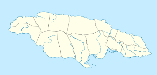
| Parish | Clarendon |
| Elevation | 218 m (715 ft) |
| Population .[1] | |
| • Estimate (2009) | 4,559 |
| Time zone | UTC-5 (EST) |
Chapelton is a market town in Clarendon Parish, Jamaica and the former parish capital.
Name
According to a longtime resident:[2]
Back in the days of plantation slavery in Jamaica, the Chapleton locality was a plantocracy settlement. Instead of going to church in the capital May Pen, the plantation owners built a church in Chapleton where they worshiped. Local folk therefore talked about going to “the chapel in the town.” After a while, the town became known as Chapel Town but with the passing of time, the name became distorted and was shortened to become Chapelton.
Amenities
- Clarendon College, secondary school.
- Clarendon Hospital, built c1903, now a community Type 3 hospital.[2]
- Police Station.
- St Paul's Anglican Church, founded over 300 years ago.[3]
Transport
Road
Chapelton is on the B3 road which climbs up from May Pen in the south, passes though the center of the town and continues north towards Brown's Town.[4]
Rail
From 1925 to 1974 Chapelton was served by Chapelton railway station on the 21 mile railway branch line from May Pen to Frankfield.
Notable people from Chapelton
- Linton Kwesi Johnson
- Raphael Morgan (Robert Josias Morgan)
See also
References
- ↑ "World Gazetteer". Archived from the original on 2009-09-02.
- 1 2 Chapelton - An Oral History Archived September 21, 2009, at the Wayback Machine., Myrel Elaine Moss (Sister Moss), golocaljamaica.com, 2003-01-01.
- ↑ Kathy Alison, Picasa, 2009-01-03.
- ↑ UK Directorate of Overseas Surveys 1:50,000 map of Jamaica Sheets G & H, 1973.