Port Republic Historic District (Port Republic, New Jersey)
|
Port Republic Historic District | |
 | |
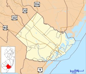   | |
| Location | Roughly bounded by Mill Street, Clark's Landing Road, Adams Avenue, Port Republic-Smithville Road and Riverside Drive, Port Republic, New Jersey |
|---|---|
| Coordinates | 39°31′15″N 74°29′35″W / 39.52083°N 74.49306°WCoordinates: 39°31′15″N 74°29′35″W / 39.52083°N 74.49306°W |
| Area | 100 acres (40 ha) |
| Built | 1774 |
| Architect | Multiple |
| Architectural style | Greek Revival, Late Victorian, Colonial |
| NRHP reference # | 91000596[1] |
| NJRHP # | 388[2] |
| Significant dates | |
| Added to NRHP | May 16, 1991 |
| Designated NJRHP | April 1, 1991 |
The Port Republic Historic District in Port Republic, Atlantic County, New Jersey is a 100-acre (40 ha) historic district that was listed on the National Register of Historic Places in 1991.[1]
In 1991, the district included 110 buildings deemed to contribute to the historic character of the area, and four other contributing sites.[1]
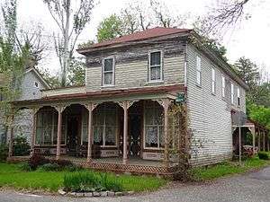 Amanda Blake Store
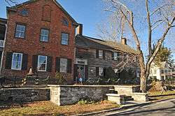
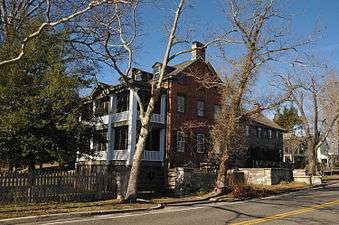 Home of Captain Micjah Smith
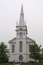 St. Paul's Methodist Church
References
- 1 2 3 National Park Service (2009-03-13). "National Register Information System". National Register of Historic Places. National Park Service.
- ↑ "New Jersey and National Registers of Historic Places - Atlantic County" (PDF). New Jersey Department of Environmental Protection - Historic Preservation Office. May 28, 2014. p. 7.
External links

| Topics | 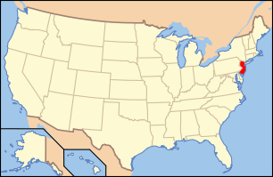 | ||
|---|---|---|---|
| Lists by county | |||
| Lists by city |
| ||
| Other lists | |||
| |||
This article is issued from
Wikipedia.
The text is licensed under Creative Commons - Attribution - Sharealike.
Additional terms may apply for the media files.