Penns Creek
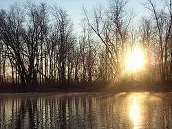
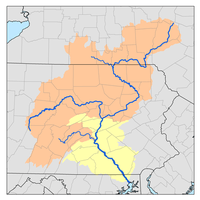
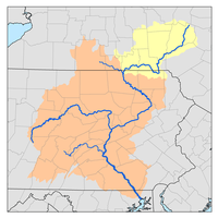
Penns Creek is a 67.1-mile-long (108.0 km)[1] tributary of the Susquehanna River in central Pennsylvania in the United States.[2]
Originally named "John Penn's Creek" after William Penn's younger brother, it was renamed Penns Creek (without the apostrophe) in 1802 by an Act of Assembly. The creek drains a watershed of approximately 163 square miles (420 km2) in Snyder, Union, and Centre counties.
Penns Creek flows from its headwaters north of Spring Mills to the Susquehanna River, approximately 3.6 miles (5.8 km) downstream of Selinsgrove.[2]
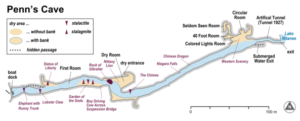
A large spring within Penns Cave, a commercial cave that offers guided tours by boat, forms one source for this limestone creek.
The upper reaches of Penns Creek offer some of the best trout flyfishing in the Northeast, with a Green Drake hatch occurring in late May that is one of the largest in the world. Additional Hendricksons, Sulphurs, and Tricos also attract anglers. As the water travels towards the Susquehanna, the temperatures gradually warm to levels best suited for panfish.
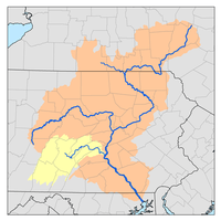
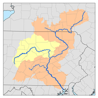
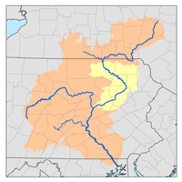
Tributaries
(In order heading downstream)
Environmental issues
Ongoing pollution and soil erosion in the region continue to degrade the water quality and the environment locally as well as regionally. Farming, surface mining, wastewater treatment facilities and industrial spills are cited as contributing factors to loss of water quality. It also contributes to the pollution of the Chesapeake Bay. Controlling the wastewater discharges alone is expected to cost local taxpayers billions of dollars.
Organizations
The Lower Penns Creek Watershed Association (LPCWA), the Susquehanna Greenway Partnership, and the Susquehanna River Basin Commission are organizations concerned with Penns Creek. The Snyder County Conservation District and the Union County Conservation District both have watershed specialists that participate in LPCWA.
See also
- Mahanoy Creek, next tributary of the Susquehanna River going downriver
- Boile Run, next tributary of the Susquehanna River going upriver
- List of rivers of Pennsylvania
- Penn's Creek Massacre
References
- ↑ U.S. Geological Survey. National Hydrography Dataset high-resolution flowline data. The National Map, accessed August 8, 2011
- 1 2 Gertler, Edward. Keystone Canoeing, Seneca Press, 2004. ISBN 0-9749692-0-6
- Inch, Bill. A Bi-Centennial Look at Penns Creek Through the Years 1806–2006, The Country Print Shop, Middleburg, Pa., 2006.