Paser Regency
| Paser Regency Kabupaten Paser | ||
|---|---|---|
| ||
 Location within East Kalimantan | ||
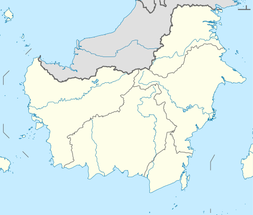 Paser Regency Location in Kalimantan and Indonesia  Paser Regency Paser Regency (Indonesia) | ||
| Coordinates: 1°45′18.37″S 115°36′14.5″E / 1.7551028°S 115.604028°ECoordinates: 1°45′18.37″S 115°36′14.5″E / 1.7551028°S 115.604028°E | ||
| Country | Indonesia | |
| Region | Kalimantan | |
| Province | East Kalimantan | |
| Capital | Tana Paser | |
| Government | ||
| • Regent | Yusriansyah Syarkawi | |
| • Vice Regent | Mardikansyah | |
| Area | ||
| • Total | 11,603.94 km2 (4,480.31 sq mi) | |
| Elevation | 0 m (0 ft) | |
| Population (2016) | ||
| • Total | 246,823 | |
| • Density | 21/km2 (55/sq mi) | |
| Time zone | UTC+8 (ICST) | |
| Area code | (+62) 543 | |
| Website | ||

Paser Regency is a regency in East Kalimantan province in Indonesia, it is the southernmost regency of the East Kalimantan province. Its capital city is Tana Paser.
Boundaries
- North : West Kutai Regency and North Penajam Paser Regency
- East : Makassar Strait
- South : Kota Baru Regency and Tabalong Regency
- West : Tabalong Regency
Administration
Paser Regency is divided into ten districts (kecamatan), tabulated below with their 2016 Census population:[1] [2]
| Name | Population Census 2016 |
|---|---|
| Batu Sopang | 19,252 |
| Muara Samu | 6,191 |
| Batu Engau | 15,078 |
| Tanjung Harapan | 7,208 |
| Paser Belengkong | 25,308 |
| Tanah Grogot | 65,855 |
| Kuaro | 27,844 |
| Long Ikis | 41,190 |
| Muara Komam | 12,886 |
| Long Kali | 26,011 |
References
Places adjacent to Paser Regency | |
|---|---|
Regencies and cities of East Kalimantan | ||
|---|---|---|
Capital: Samarinda | ||
| Regencies | ||
| Cities | ||
This article is issued from
Wikipedia.
The text is licensed under Creative Commons - Attribution - Sharealike.
Additional terms may apply for the media files.