Natrona, Wyoming
| Natrona, Wyoming | |
|---|---|
| Unincorporated community | |
 Natrona, Wyoming Location within the state of Wyoming  Natrona, Wyoming Natrona, Wyoming (the US) | |
| Coordinates: 43°1′47″N 106°48′33″W / 43.02972°N 106.80917°WCoordinates: 43°1′47″N 106°48′33″W / 43.02972°N 106.80917°W | |
| Country | United States |
| State | Wyoming |
| County | Natrona |
| Elevation | 5,604 ft (1,708 m) |
| Time zone | UTC-7 (Mountain (MST)) |
| • Summer (DST) | UTC-6 (MDT) |
| ZIP codes | 82646 |
| GNIS feature ID | 1597426[1] |
Natrona is an unincorporated community in central Natrona County, Wyoming, United States. It lies along the concurrent U.S. Routes 20 and 26, west of the city of Casper, the county seat of Natrona County.[2] Its elevation is 5,604 feet (1,708 m).[1] Although Natrona is unincorporated, it has been assigned its own ZIP code of 82646.[3]
History
Natrona contained a post office from 1906 until 1984.[4] The community was named from its location in Natrona County.[5]
References
- 1 2 "Natrona, Wyoming". Geographic Names Information System. United States Geological Survey.
- ↑ Rand McNally. The Road Atlas '08. Chicago: Rand McNally, 2008, p. 116.
- ↑ https://tools.usps.com/go/ZipLookupAction!input.action?mode=2&refresh=true
- ↑ "Natrona County". Jim Forte Postal History. Retrieved 23 March 2015.
- ↑ Chicago and North Western Railway Company (1908). A History of the Origin of the Place Names Connected with the Chicago & North Western and Chicago, St. Paul, Minneapolis & Omaha Railways. p. 106.
Municipalities and communities of Natrona County, Wyoming, United States | ||
|---|---|---|
| City | 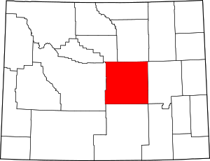 | |
| Towns | ||
| CDPs | ||
| Unincorporated communities | ||
This article is issued from
Wikipedia.
The text is licensed under Creative Commons - Attribution - Sharealike.
Additional terms may apply for the media files.