Nandaly, Victoria
| Nandaly Victoria | |||||||||||||||
|---|---|---|---|---|---|---|---|---|---|---|---|---|---|---|---|
 Nandaly | |||||||||||||||
| Coordinates | 35°18′0″S 142°42′0″E / 35.30000°S 142.70000°ECoordinates: 35°18′0″S 142°42′0″E / 35.30000°S 142.70000°E | ||||||||||||||
| Population | 39 (2016 census)[1] | ||||||||||||||
| Postcode(s) | 3533 | ||||||||||||||
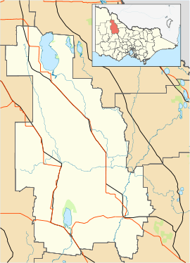
| Location | |||||||||||||||
| LGA(s) | Shire of Buloke | ||||||||||||||
| State electorate(s) | Mildura | ||||||||||||||
| Federal Division(s) | Mallee | ||||||||||||||
| |||||||||||||||
Nandaly is a small town in the Mallee region of Victoria, Australia. The town is located 388 kilometres (241 mi) north-west of the state capital, Melbourne on the Calder Highway in the Shire of Buloke local government area. At the 2016 census, Nandaly had a population of 39.[1]
The Post Office opened on 2 November 1914 when a community developed on the arrival of the railway.[2]
With its neighbouring township Sea Lake, Nandaly has a football team (Sea Lake-Nandaly) competing in the North Central Football League.
Golfers play at the course of the Nandaly Golf Club on Messinnes Street.[3]
References
- 1 2 Australian Bureau of Statistics (27 June 2017). "Nandaly (State Suburb)". 2016 Census QuickStats. Retrieved 6 December 2014.

- ↑ Premier Postal History, Post Office List, retrieved 2008-04-11
- ↑ Golf Select, Nandaly, retrieved 2009-05-11
This article is issued from
Wikipedia.
The text is licensed under Creative Commons - Attribution - Sharealike.
Additional terms may apply for the media files.