Jeruk, Victoria
| Jeruk Victoria | |||||||||||||||
|---|---|---|---|---|---|---|---|---|---|---|---|---|---|---|---|
 Jeruk | |||||||||||||||
| Coordinates | 36°01′04″S 143°24′30″E / 36.01778°S 143.40833°ECoordinates: 36°01′04″S 143°24′30″E / 36.01778°S 143.40833°E | ||||||||||||||
| Postcode(s) | 3527 | ||||||||||||||
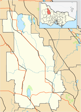
| Location |
| ||||||||||||||
| LGA(s) | Shire of Buloke | ||||||||||||||
| State electorate(s) | Mildura | ||||||||||||||
| Federal Division(s) | Mallee | ||||||||||||||
| |||||||||||||||
Jeruk is a located in the local government area of the Shire of Buloke, Victoria, Australia. The post office there opened on 10 August 1880, was closed on 2 September 1901, reopened in 1904 and closed on 31 May 1930.[1]
References
- ↑ Premier Postal History, Post Office List, retrieved 2008-04-11
This article is issued from
Wikipedia.
The text is licensed under Creative Commons - Attribution - Sharealike.
Additional terms may apply for the media files.