Namorona River
| Namorona River | |
| River | |
 Improvised bridge over the Namorona River | |
| Country | |
|---|---|
| Region | Vatovavy-Fitovinany |
| Cities | Namorona, Ranomafana, Ifanadiana |
| Mouth | |
| - coordinates | 21°39′43″S 48°13′26″E / 21.66194°S 48.22389°ECoordinates: 21°39′43″S 48°13′26″E / 21.66194°S 48.22389°E |
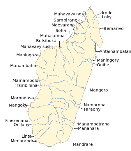 Map of Malagasy rivers (Namorona flows from the central part to the eastern coast). | |
Namorona is a river in Vatovavy-Fitovinany, eastern Madagascar. It flows down from the central highlands, runs along the Ranomafana National Park, forms the Andriamamovoka Falls, to flow into the Indian Ocean. It empties near Namorona.
References
External links
![]()
This article is issued from
Wikipedia.
The text is licensed under Creative Commons - Attribution - Sharealike.
Additional terms may apply for the media files.