Mount Ungaran
| Mount Ungaran | |
|---|---|
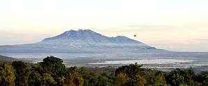 Mount Ungaran from southern side | |
| Highest point | |
| Elevation | 2,050 m (6,730 ft) [1] |
| Listing | Ribu |
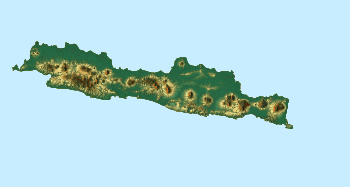
| Coordinates | 7°11′S 110°20′E / 7.18°S 110.33°E |
| Geography | |
| Geology | |
| Age of rock | Holocene |
| Mountain type | stratovolcano |
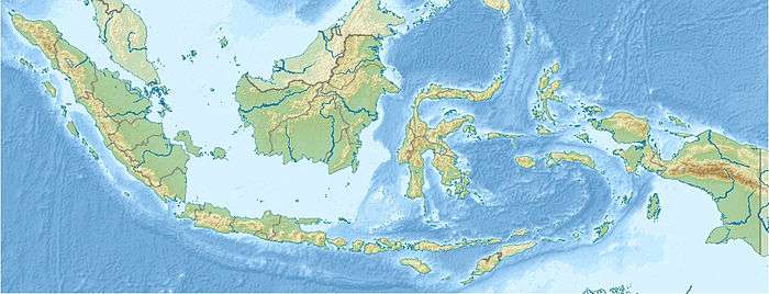
Mount Ungaran is a deeply eroded stratovolcano, located in the south of Semarang, Indonesia. There are no historical records about the mountain's activities. Two active fumarole fields are found on the southern flanks.[1]
The town of Ungaran is located on the eastern side of the volcano, whereas Ambarawa lays of its southern wing. Bandungan and surroundings, including the Gedong Songo temple complex, are tourist attractions on the volcano. The lake of Rawa Pening is located southeast of the volcano.
Endemic fauna includes Philautus jacobsoni, a tree frog that has not been seen for decades.
See also
References
- 1 2 "Ungaran". Global Volcanism Program. Smithsonian Institution. Retrieved 2006-12-26.
This article is issued from
Wikipedia.
The text is licensed under Creative Commons - Attribution - Sharealike.
Additional terms may apply for the media files.