Mount Surat
| Mount Surat | |
|---|---|
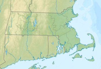 Mount Surat Location of Mount Surat in Massachusetts  Mount Surat Mount Surat (the US) | |
| Highest point | |
| Elevation | 154 ft (47 m) |
| Coordinates | 41°29′42″N 70°44′26″W / 41.4951086°N 70.7405859°W[1] |
| Geography | |
| Location | Naushon Island, Massachusetts |
| Topo map | USGS Naushon Island |
Mount Surat is a mountain in Dukes County, Massachusetts, Massachusetts. It is located on Naushon Island 1.7 miles (2.7 km) west of Jobs Neck in the Town of Gosnold. Mount Cary is located southwest of Mount Surat.
References
- ↑ "Mount Surat". Geographic Names Information System. United States Geological Survey. Retrieved 2018-08-20.
This article is issued from
Wikipedia.
The text is licensed under Creative Commons - Attribution - Sharealike.
Additional terms may apply for the media files.