Shaker Mountain
| Shaker Mountain | |
|---|---|
 Shaker Mountain | |
| Highest point | |
| Elevation | 1,835 ft (559 m) |
| Coordinates | 42°26′45″N 73°20′13″W / 42.4459174°N 73.3370518°WCoordinates: 42°26′45″N 73°20′13″W / 42.4459174°N 73.3370518°W [1] |
| Geography | |
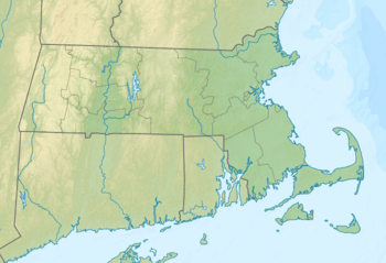
| Location | Berkshire County, Massachusetts, U.S. |
| Parent range | Taconic Mountains |
| Topo map | USGS Pittsfield West |
| Geology | |
| Age of rock | Ordovician |
| Mountain type | Thrust fault; metamorphic rock and sedimentary rock |
| Climbing | |
| Easiest route | Shaker Trail |
Shaker Mountain, 1,835 feet (559 m), is a prominent peak in the Taconic Mountains of western Massachusetts. The mountain is located in Pittsfield State Forest and is named after the nearby Hancock Shaker Village, a former Shaker religious colony and now a historic site. The summit is wooded and is traversed by the 5 mi (8.0 km) Shaker Trail, a loop trail that begins at the historic site. The mountain is wooded with northern hardwood tree species.
Shaker Mountain is located within Hancock, Massachusetts. The Taconic ridgeline continues north from Shaker Mountain as Doll Mountain and west as Holy Mount The mountain drains into Shaker Brook and Lily Brook, thence to the Housatonic River and Long Island Sound.
References
- ↑ "Shaker Mountain". Geographic Names Information System. United States Geological Survey. Retrieved 2010-11-10.
- Massachusetts Trail Guide (2004). Boston: Appalachian Mountain Club.
- Commonwealth Connections proposal PDF download. Retrieved March 2, 2008.
- AMC Massachusetts and Rhode Island Trail Guide (1989). Boston: Appalachian Mountain Club.
- "Greenways and Trails" Massachusetts DCR. Retrieved February 22, 2008.
External links
- Pittsfield State Forest map
- Pittsfield State Forest. Massachusetts DCR.
This article is issued from
Wikipedia.
The text is licensed under Creative Commons - Attribution - Sharealike.
Additional terms may apply for the media files.