Mount Ararat (Massachusetts)
| Mount Ararat | |
|---|---|
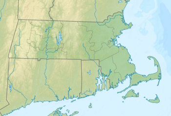 Mount Ararat Location of Mount Ararat in Massachusetts  Mount Ararat Mount Ararat (the US) | |
| Highest point | |
| Elevation | 115 ft (35 m) |
| Coordinates | 42°04′04″N 70°09′05″W / 42.0677673°N 70.1515139°W[1] |
| Geography | |
| Location | Cape Cod, Massachusetts |
| Topo map | USGS Provincetown |
Mount Ararat is a mountain in Barnstable County, Massachusetts. It is located 2.2 miles (3.5 km) northeast of Provincetown in the Town of Provincetown. Oak Head is located west of Mount Ararat.
References
- ↑ "Mount Ararat". Geographic Names Information System. United States Geological Survey. Retrieved 2018-08-20.
This article is issued from
Wikipedia.
The text is licensed under Creative Commons - Attribution - Sharealike.
Additional terms may apply for the media files.