Montaldo Scarampi
| Montaldo Scarampi | |
|---|---|
| Comune | |
| Comune di Montaldo Scarampi | |
 Montaldo Scarampi Location of Montaldo Scarampi in Italy | |
| Coordinates: 44°50′N 8°16′E / 44.833°N 8.267°ECoordinates: 44°50′N 8°16′E / 44.833°N 8.267°E | |
| Country | Italy |
| Region | Piedmont |
| Province | Province of Asti (AT) |
| Area | |
| • Total | 6.7 km2 (2.6 sq mi) |
| Population (Dec. 2004) | |
| • Total | 704 |
| • Density | 110/km2 (270/sq mi) |
| Time zone | UTC+1 (CET) |
| • Summer (DST) | UTC+2 (CEST) |
| Postal code | 14040 |
| Dialing code | 0141 |
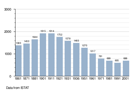
Montaldo Scarampi is a comune (municipality) in the Province of Asti in the Italian region Piedmont, located about 50 kilometres (31 mi) southeast of Turin and about 9 kilometres (6 mi) southeast of Asti. As of 31 December 2004, it had a population of 704 and an area of 6.7 square kilometres (2.6 sq mi).[1]
Montaldo Scarampi borders the following municipalities: Mombercelli, Montegrosso d'Asti, and Rocca d'Arazzo.
Demographic evolution
References

This article is issued from
Wikipedia.
The text is licensed under Creative Commons - Attribution - Sharealike.
Additional terms may apply for the media files.