Tynaarlo
| Tynaarlo | |||
|---|---|---|---|
| Municipality | |||
 Dolmen D6 near Tynaarlo | |||
| |||
.svg.png) Location in Drenthe | |||
| Coordinates: 53°5′N 6°35′E / 53.083°N 6.583°ECoordinates: 53°5′N 6°35′E / 53.083°N 6.583°E | |||
| Country | Netherlands | ||
| Province | Drenthe | ||
| Established | 1 January 1998[1] | ||
| Renamed | 1 January 2000[2] | ||
| Government[3] | |||
| • Body | Municipal council | ||
| • Mayor | Marcel Thijsen | ||
| Area[4] | |||
| • Total | 147.70 km2 (57.03 sq mi) | ||
| • Land | 143.50 km2 (55.41 sq mi) | ||
| • Water | 4.20 km2 (1.62 sq mi) | ||
| Elevation[5] | 6 m (20 ft) | ||
| Population (August 2017)[6] | |||
| • Total | 33,472 | ||
| • Density | 233/km2 (600/sq mi) | ||
| Time zone | UTC+1 (CET) | ||
| • Summer (DST) | UTC+2 (CEST) | ||
| Postcode | Parts of 9000 range | ||
| Area code | 050, 0592, 0598 | ||
| Website |
www | ||

Tynaarlo (pronounced [tiˈnaːrloː] (![]()
Population centres
_Vries_Dr_NL.jpg)
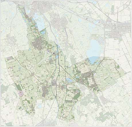
Bunne, Bunnerveen, De Groeve, De Punt, Donderen, Eelde, Eelderwolde, Midlaren, Oudemolen, Paterswolde, Taarlo, Tynaarlo, Vries, Winde, Yde, Zeegse, Zeijen, Zuidlaarderveen and Zuidlaren.
Topography
Town of Tynaarlo

The town of Tynaarlo is a part of the municipality and lies about 9 km (5.6 mi) north of Assen. It is situated between the three largest villages of the municipality: Zuidlaren, Eelde and Vries. Tynaarlo is located close to the motorway A28, which is a connection to the south and the west of the country.
In 2001, the town of Tynaarlo had 1009 inhabitants. The built-up area of the town was 0.29 km2 (0.11 sq mi), and contained 427 residences.[7] The statistical district "Tynaarlo", which also can include the surrounding countryside, has a population of around 1920.[8]
References
- ↑ "Gemeentelijke indeling op 1 januari 1998" [Municipal divisions on 1 January 1998]. cbs.nl (in Dutch). CBS. Retrieved 11 October 2013.
- ↑ "Gemeentelijke indeling op 1 januari 2000" [Municipal divisions on 1 January 2000]. cbs.nl (in Dutch). CBS. Retrieved 11 October 2013.
- ↑ "Dhr. P. Adema" [Mr. P. Adema] (in Dutch). Gemeente Tynaarlo. Archived from the original on 11 October 2013. Retrieved 11 October 2013.
- ↑ "Kerncijfers wijken en buurten" [Key figures for neighbourhoods]. CBS Statline (in Dutch). CBS. 2 July 2013. Retrieved 12 March 2014.
- ↑ "Postcodetool for 9481AW". Actueel Hoogtebestand Nederland (in Dutch). Het Waterschapshuis. Retrieved 11 October 2013.
- ↑ "Bevolkingsontwikkeling; regio per maand" [Population growth; regions per month]. CBS Statline (in Dutch). CBS. 27 October 2017. Retrieved 27 October 2017.
- ↑ Statistics Netherlands (CBS), Bevolkingskernen in Nederland 2001. (Statistics are for the continuous built-up area).
- ↑ Statistics Netherlands (CBS), Statline: Kerncijfers wijken en buurten 2003-2005. As of 1 January 2005.
External links
| Wikivoyage has a travel guide for Tynaarlo. |
| Wikimedia Commons has media related to Tynaarlo. |
Places adjacent to Tynaarlo | ||||||||||
|---|---|---|---|---|---|---|---|---|---|---|
| ||||||||||
Municipalities of Drenthe | ||
|---|---|---|
 | ||
| ||