Mayakovsky Peak
| Mayakovsky Peak | |
|---|---|
| Пик Маяковского | |
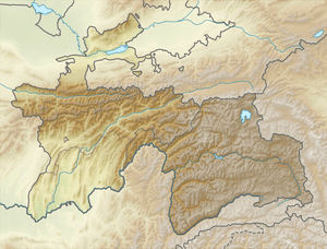 Location in Tajikistan | |
| Highest point | |
| Elevation | 6,096 m (20,000 ft) |
| Prominence | 1,154 metres (3,786 ft) |
| Coordinates | 37°10′N 71°40′E / 37.167°N 71.667°ECoordinates: 37°10′N 71°40′E / 37.167°N 71.667°E |
| Geography | |
| Location | Ishkoshim District, Gorno-Badakhshan, Tajikistan |
| Parent range | Ishkoshim Range (Pamirs) |
| Climbing | |
| First ascent | 1947 by Soviet alpinists led by V. Budenov |
| Easiest route | rock / snow / ice climb |
Mayakovsky Peak (Russian: Пик Маяковского) is a peak in Pamir Mountains.
It is located in the extreme south-west corner of Tajikistan's Gorno-Badakhshan Autonomous Province (Ishkoshim District), where the north-south Ishkoshim Range joins the east-west Shakhdara Range. Elevation 6,096 m. Discovered in the early 1930s by Soviet explorer Pavel Luknitsky, who gave it a figurative name, Three-Headed Peak.[1] After the first ascent by Soviet alpinists in 1947, the peak was renamed in honor of the Soviet Russian poet Vladimir Mayakovsky (1893-1930).[2] The 1947 Soviet expedition was led by V. Budenov.[3][4]
See also
References
- ↑ Explorations in South-Western Pamir since 1930
- ↑ Big Soviet Encyclopedia, on-line edition, in Russian
- ↑ Michal Kleslo. "Mayakovsky (6,096m), South Face, Czech Route". American Alpine Journal, 2012, vol. 54.
- ↑ Yevgeniy Gippenreiter, Vladimir Shataev. "Six and Seventhousanders of the Tien Shan and the Pamirs" (PDF 4,6 MB). Alpine Journal, 1996, 122–130.
| Districts | 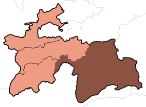 | |
|---|---|---|
| Main cities and towns | ||
| Geography | ||
This article is issued from
Wikipedia.
The text is licensed under Creative Commons - Attribution - Sharealike.
Additional terms may apply for the media files.