Mattamuskeet National Wildlife Refuge
| Mattamuskeet National Wildlife Refuge | |
|---|---|
|
IUCN category IV (habitat/species management area) | |
.jpg) A wetland at the refuge | |
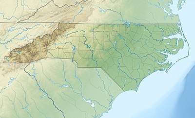 Map of North carolina  Mattamuskeet National Wildlife Refuge (the US) | |
| Location | Hyde County, North Carolina, United States |
| Nearest city | Swan Quarter, North Carolina |
| Coordinates | 35°30′N 76°12′W / 35.500°N 76.200°WCoordinates: 35°30′N 76°12′W / 35.500°N 76.200°W |
| Area | 50,173 acres (203.04 km2) |
| Established | 1934 |
| Governing body | U.S. Fish and Wildlife Service |
| Website | Mattamuskeet National Wildlife Refuge |
The Mattamuskeet National Wildlife Refuge is a federally protected wildlife refuge located within Hyde County, North Carolina, United States. North Carolina's largest natural lake, Lake Mattamuskeet, is located entirely within the National Wildlife Refuge. The refuge has a total area of 50,173 acres (203.04 km2).[1]
The Lake Mattamuskeet Pump Station, also known as Mattamuskeet Lodge, was listed on the National Register of Historic Places in 1980.[2]
See also
List of largest National Wildlife Refuges
| Wikimedia Commons has media related to Mattamuskeet National Wildlife Refuge. |
References
- ↑ USFWS Lands Report, 30 September 2007
- ↑ National Park Service (2010-07-09). "National Register Information System". National Register of Historic Places. National Park Service.
![]()
External links
- Mattamuskeet NWR, USFWS
This article is issued from
Wikipedia.
The text is licensed under Creative Commons - Attribution - Sharealike.
Additional terms may apply for the media files.