Manuel Garcia, Texas
| Manuel Garcia, Texas | |
|---|---|
| CDP | |
| Coordinates: 26°20′1″N 98°42′6″W / 26.33361°N 98.70167°W | |
| Country | United States |
| State | Texas |
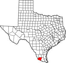
| County | Starr |
| Population (2010) | |
| • Total | 203 |
| Time zone | UTC-6 (Central (CST)) |
| • Summer (DST) | UTC-5 (CDT) |
| Zip Code | 78582 |
Manuel Garcia is a census-designated place (CDP) in Starr County, Texas, United States. It is a new CDP formed from part of the former La Casita-Garciasville CDP prior to the 2010 census with a population of 203.[1]
Geography
Manuel Garcia is located at 26°20′1″N 98°42′6″W / 26.33361°N 98.70167°W (26.333654, -98.701643).[2]
References
This article is issued from
Wikipedia.
The text is licensed under Creative Commons - Attribution - Sharealike.
Additional terms may apply for the media files.