Leopoldshagen
| Leopoldshagen | |
|---|---|
 Leopoldshagen Location of Leopoldshagen within Vorpommern-Greifswald district 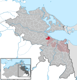 | |
| Coordinates: 53°46′N 13°54′E / 53.767°N 13.900°ECoordinates: 53°46′N 13°54′E / 53.767°N 13.900°E | |
| Country | Germany |
| State | Mecklenburg-Vorpommern |
| District | Vorpommern-Greifswald |
| Municipal assoc. | Am Stettiner Haff |
| Government | |
| • Mayor | Werner Hackbarth |
| Area | |
| • Total | 19.56 km2 (7.55 sq mi) |
| Elevation | 6 m (20 ft) |
| Population (2017-12-31)[1] | |
| • Total | 658 |
| • Density | 34/km2 (87/sq mi) |
| Time zone | CET/CEST (UTC+1/+2) |
| Postal codes | 17375 |
| Dialling codes | 039774 |
| Vehicle registration | VG |
| Website | www.leopoldshagen.de |
Leopoldshagen is a municipality in the Vorpommern-Greifswald district, in Mecklenburg-Vorpommern, Germany.
Geography
Immediately northwest of Leopoldshagen begins the Anklamer Torfmoor, a protected wetland which runs along the western shore of the Stettin Lagoon to the town of Anklam.
History
The place was founded in 1748. In 1752 King Frederick II of Prussia named the village in honour of his late general Leopold II, Prince of Anhalt-Dessau (1700–1751).
References
This article is issued from
Wikipedia.
The text is licensed under Creative Commons - Attribution - Sharealike.
Additional terms may apply for the media files.