Bargischow
| Bargischow | |
|---|---|
 Bargischow Location of Bargischow within Vorpommern-Greifswald district 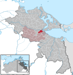 | |
| Coordinates: 53°50′N 13°45′E / 53.833°N 13.750°ECoordinates: 53°50′N 13°45′E / 53.833°N 13.750°E | |
| Country | Germany |
| State | Mecklenburg-Vorpommern |
| District | Vorpommern-Greifswald |
| Municipal assoc. | Anklam-Land |
| Government | |
| • Mayor | André Stegemann |
| Area | |
| • Total | 21.70 km2 (8.38 sq mi) |
| Elevation | 4 m (13 ft) |
| Population (2017-12-31)[1] | |
| • Total | 303 |
| • Density | 14/km2 (36/sq mi) |
| Time zone | CET/CEST (UTC+1/+2) |
| Postal codes | 17398 |
| Dialling codes | 03971 |
| Vehicle registration | VG |
| Website | www.amt-anklam-land.de |
Bargischow is a municipality in the Vorpommern-Greifswald district, in Mecklenburg-Vorpommern, Germany.
Location
The railway route between Berlin and Stralsund crosses between the municipality and Woserow.
Geography and transport
Location
The municipality of Bargischow lies about 5 kilometres east of the Hanseatic town of Anklam. To the west the municipality borders immediately on the borough of Anklam. To the north, the Peene, which empties into the Peenestrom, forms the boundary. To the east, the municipality's peninsula of Anklamer Fähre borders on the Stettin Lagoon, which unites with the Peenestrom in the northeast. To the southeast is the Anklamer Torfmoor. The municipality of Bugewitz borders in the southeast on Neu Kosenow and in the south on Bargischow.
Transport
The Berlin–Stralsund line crosses the municipal area between Bargischow and Woserow, whilst the B 109 federal road passes west of Woserow.