Leithtown, Virginia
| Leithtown, Virginia | |
|---|---|
| Unincorporated village | |
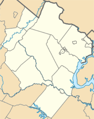
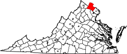
 Leithtown, Virginia Location within the Commonwealth of Virginia  Leithtown, Virginia Leithtown, Virginia (Virginia)  Leithtown, Virginia Leithtown, Virginia (the US) | |
| Coordinates: 39°0′48″N 77°45′32″W / 39.01333°N 77.75889°WCoordinates: 39°0′48″N 77°45′32″W / 39.01333°N 77.75889°W | |
| Country |
|
| State |
|
| County |
|
| Time zone | UTC−5 (Eastern (EST)) |
| • Summer (DST) | UTC−4 (EDT) |
Leithtown is an unincorporated village in Loudoun County, Virginia. Leithtown lies to the west of Goose Creek at the crossroads of Foxcroft, Pot House, and Mountville Roads. It is the home of The Foxcroft School and saw cavalry action in the Battle of Middleburg and Battle of Upperville in 1863.
This article is issued from
Wikipedia.
The text is licensed under Creative Commons - Attribution - Sharealike.
Additional terms may apply for the media files.
