Lattasburg, Ohio
| Lattasburg, Ohio | |
|---|---|
| Unincorporated community | |
 Lattasburg, Ohio | |
| Coordinates: 40°52′43″N 82°06′31″W / 40.87861°N 82.10861°WCoordinates: 40°52′43″N 82°06′31″W / 40.87861°N 82.10861°W | |
| Country | United States |
| State | Ohio |
| County | Wayne |
| Elevation | 1,155 ft (352 m) |
| Time zone | UTC-5 (Eastern (EST)) |
| • Summer (DST) | UTC-4 (EDT) |
| Area code(s) | 330 |
| GNIS feature ID | 1064972[1] |
Lattasburg is an unincorporated community in Wayne County, Ohio, United States. Lattasburg is located at the junction of Ohio State Route 301 and Ohio State Route 302 6.4 miles (10.3 km) south of West Salem.[2]
History
Lattasburg was originally called West Union, and under the latter name was platted in 1851.[3] The present name honors Ephraim Latta, an early settler.[3] A post office called Lattasburgh was established in 1867, the spelling was changed to Lattasburg in 1893, and the post office closed in 1905.[4]
References
- ↑ "Lattasburg". Geographic Names Information System. United States Geological Survey.
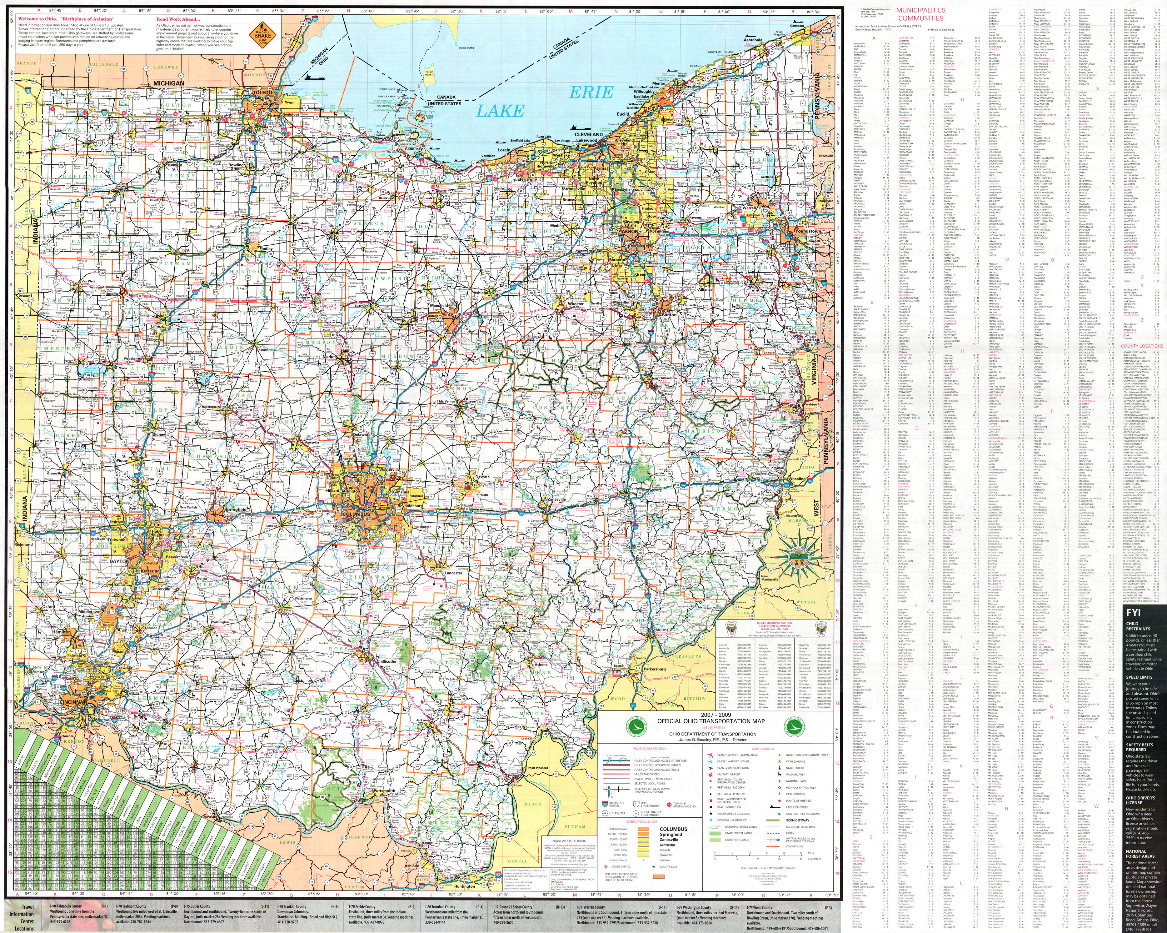
- ↑ 2007-2009 Official Ohio Transportation Map (JPEG) (Map). Ohio Department of Transportation. 2007.
- 1 2 History of Wayne County, Ohio. B.F. Bowen. 1910. p. 367.
- ↑ "Wayne County". Jim Forte Postal History. Retrieved 11 January 2016.
Municipalities and communities of Wayne County, Ohio, United States | ||
|---|---|---|
| Cities | 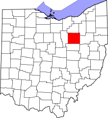 | |
| Villages | ||
| Townships | ||
| CDPs | ||
| Unincorporated communities | ||
| Footnotes | ‡This populated place also has portions in an adjacent county or counties | |
This article is issued from
Wikipedia.
The text is licensed under Creative Commons - Attribution - Sharealike.
Additional terms may apply for the media files.