Las Malvinas Airport
| Las Malvinas/Echarate Airport | |||||||||||
|---|---|---|---|---|---|---|---|---|---|---|---|
| Summary | |||||||||||
| Airport type | Public | ||||||||||
| Location | Northern Cusco Region | ||||||||||
| Elevation AMSL | 1,252 ft / 382 m | ||||||||||
| Coordinates | 11°51′00″S 72°56′25″W / 11.85000°S 72.94028°WCoordinates: 11°51′00″S 72°56′25″W / 11.85000°S 72.94028°W | ||||||||||
| Map | |||||||||||
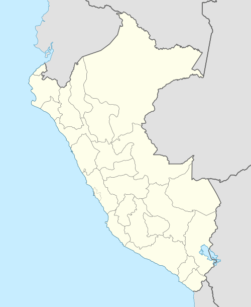 SPWT Location of the airport in Peru | |||||||||||
| Runways | |||||||||||
| |||||||||||
Las Malvinas/Echarate Airport (IATA: VVN, ICAO: SPWT) is an airport serving the Las Malvinas natural gas plant in the Cusco Region of Peru. The runway is adjacent to the plant, and is the primary transport access to it. No towns are near the plant, which is on the Urubamba River. The plant processes natural gas from the Camisea gas fields and sends it along two pipelines for export and domestic use.
The Malvinas VOR-DME (Ident: MLV) and non-directional beacon (Ident MLV) are located on the field.[3]
See also


- Transport in Peru
- List of airports in Peru
References
- ↑ Airport information for Las Malvinas Airport at Great Circle Mapper.
- ↑ Google Maps - Las Malvinas
- ↑ SkyVector Aeronautical Charts
External links
This article is issued from
Wikipedia.
The text is licensed under Creative Commons - Attribution - Sharealike.
Additional terms may apply for the media files.