Laprugne
| Laprugne | |
|---|---|
| Commune | |
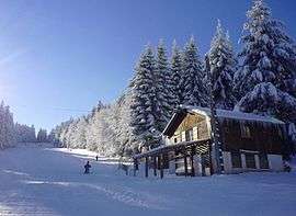 La Loge des Gardes ski resort | |
 Laprugne Location within Auvergne-Rhône-Alpes region  Laprugne | |
| Coordinates: 45°59′12″N 3°44′37″E / 45.9867°N 3.7436°ECoordinates: 45°59′12″N 3°44′37″E / 45.9867°N 3.7436°E | |
| Country | France |
| Region | Auvergne-Rhône-Alpes |
| Department | Allier |
| Arrondissement | Vichy |
| Canton | Lapalisse |
| Intercommunality | Vichy Communauté |
| Government | |
| • Mayor (2014–2020) | Monique Montibert[1] |
| Area1 | 34.61 km2 (13.36 sq mi) |
| Population (2012)2 | 339 |
| • Density | 9.8/km2 (25/sq mi) |
| Time zone | UTC+1 (CET) |
| • Summer (DST) | UTC+2 (CEST) |
| INSEE/Postal code | 03139 /03250 |
| Elevation |
549–1,164 m (1,801–3,819 ft) (avg. 700 m or 2,300 ft) |
|
1 French Land Register data, which excludes lakes, ponds, glaciers > 1 km2 (0.386 sq mi or 247 acres) and river estuaries. 2 Population without double counting: residents of multiple communes (e.g., students and military personnel) only counted once. | |
Laprugne is a commune in the Allier department in central France.
Population
| Historical population | ||
|---|---|---|
| Year | Pop. | ±% |
| 1962 | 1,306 | — |
| 1968 | 1,415 | +8.3% |
| 1975 | 1,015 | −28.3% |
| 1982 | 560 | −44.8% |
| 1990 | 509 | −9.1% |
| 1999 | 410 | −19.4% |
| 2008 | 360 | −12.2% |
| 2012 | 339 | −5.8% |
| Source: INSEE (1968–2012) | ||
See also
References
- ↑ "Liste nominative des communes de l'Allier (avec maire, arrondissement et canton)" [Nominative list of communes of Allier (with mayor, arrondissement and canton)] (PDF). Association of Mayors and Presidents of Communities of Allier (in French). 1 April 2015. Archived from the original (PDF) on 18 May 2015. Retrieved 4 September 2015.
| Wikimedia Commons has media related to Laprugne. |
This article is issued from
Wikipedia.
The text is licensed under Creative Commons - Attribution - Sharealike.
Additional terms may apply for the media files.