Lamwo
| Lamwo | |
|---|---|
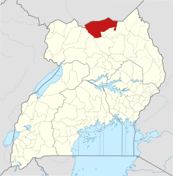
 Lamwo Map of Uganda showing the location of Lamwo | |
| Coordinates: 03°31′48″N 32°48′00″E / 3.53000°N 32.80000°E | |
| Country |
|
| Region | Northern Region of Uganda |
| Sub-region | Acholi sub-region |
| District | Lamwo District |
| Elevation | 1,100 m (3,600 ft) |
| Time zone | UTC+3 (EAT) |
Lamwo is a town in the Northern Region of Uganda and the political and administrative center of Lamwo District.
Location
Lamwo is approximately 66 kilometres (41 mi), by road, northwest of Kitgum, the nearest large town.[1] This is approximately 468 kilometres (291 mi), by road, north of Kampala, the capital of and largest city in Uganda.[2] The approximate coordinates of the town are 03 31 48N, 32 48 00E (Latitude:3.5300; Longitude:32.800).
Points of interest
The following points of interest lie within the town limits or near the edges of town:
- offices of Lamwo Town Council
- Lamwo central market
- Lamwo-Kitgum road
See also
External links
References
- ↑ Road "Road Distance Between Kitgum And Lamwo With Map" Check
|url=value (help). Globefeed.com. Retrieved 13 April 2014. - ↑ "Map Showing Kampala And Lamwo With Distance Marker". Globefeed.com. Retrieved 13 April 2014.
Coordinates: 03°31′48″N 32°48′00″E / 3.53000°N 32.80000°E
Capital: Lamwo | ||
| Towns and villages |
|  |
| Transport | ||
| Notable people | ||
This article is issued from
Wikipedia.
The text is licensed under Creative Commons - Attribution - Sharealike.
Additional terms may apply for the media files.