Kverkfjöll
| Kverkfjöll | |
|---|---|
 | |
| Highest point | |
| Elevation | 1,764 m (5,787 ft) |
| Coordinates | 64°39′00″N 16°43′00″W / 64.65000°N 16.71667°WCoordinates: 64°39′00″N 16°43′00″W / 64.65000°N 16.71667°W |
| Geography | |
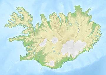 Kverkfjöll Location in Iceland | |
| Location | Iceland |

The mountain range Kverkfjöll (1,764 m) is situated on the north-eastern border of the glacier Vatnajökull in Iceland. With their glacier Kverkjökull, they are to be found between the Vatnajökull and the Dyngjufjöll (s. Askja). The mountains are still active volcanoes. Especially around 1720, they were often erupting and causing glacier runs.
Under the mountains, there is a very large, very hot magma chamber which leads to the originating of glacier caves. Currently, they cannot be visited because of the risk of collapse. There is a warning sign at the "parking place" near the caves.
In a certain distance, there are the hot springs of Hveradalir.
The oasis Hvannalindir lies between the Kverkfjöll and Askja.
The Holuhraun lava field is approximately 10 km (6.2 mi) to the north-west of Kverkfjöll. The main volume of the Jökulsá á Fjöllum river flows from the Kverkfjöll area.[1]
See also
External links
- Kverksfjöll in the Catalogue of Icelandic Volcanoes
- Kverkfjöll - picture gallery from islandsmyndir.is
- Photo
- ice cave
References
- ↑ "Holuhraun". Nordic Adventure Travel. Retrieved 2014-08-30.