Kumiyama, Kyoto
| Kumiyama 久御山町 | |||
|---|---|---|---|
| Town | |||
| |||
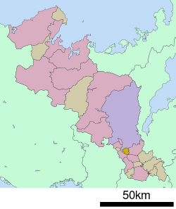 Location of Kumiyama in Kyoto Prefecture | |||
 Kumiyama Location in Japan | |||
| Coordinates: 34°53′N 135°44′E / 34.883°N 135.733°ECoordinates: 34°53′N 135°44′E / 34.883°N 135.733°E | |||
| Country | Japan | ||
| Region | Kansai | ||
| Prefecture | Kyoto Prefecture | ||
| District | Kuse District | ||
| Area | |||
| • Total | 13.86 km2 (5.35 sq mi) | ||
| Population (October 1, 2017) | |||
| • Total | 15,589 | ||
| • Density | 1,100/km2 (2,900/sq mi) | ||
| Time zone | UTC+9 (JST) | ||
| Website |
www | ||


Kumiyama (久御山町 Kumiyama-chō) is a town located in Kuse District, Kyoto Prefecture, Japan.
As of October 2017, the town has an estimated population of 15,589[1] and a density of 1,124 persons per km². The total area is 13.86 km².
References
- ↑ "Official website of Kyoto Prefecture" (in Japanese). Japan: Kyoto Prefecture. Retrieved 11 February 2018.
External links

- Kumiyama official website (in Japanese)
This article is issued from
Wikipedia.
The text is licensed under Creative Commons - Attribution - Sharealike.
Additional terms may apply for the media files.