Korsvik
| Korsvik | |
|---|---|
| Village | |
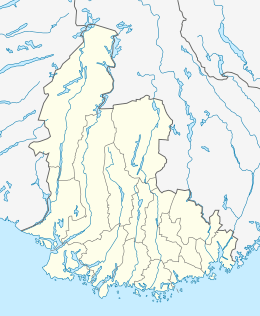
 Korsvik Location of the village  Korsvik Korsvik (Norway) | |
| Coordinates: 58°08′30″N 8°04′49″E / 58.1418°N 08.0802°ECoordinates: 58°08′30″N 8°04′49″E / 58.1418°N 08.0802°E | |
| Country | Norway |
| Region | Southern Norway |
| County | Vest-Agder |
| District | Kristiansand |
| Municipality | Kristiansand |
| Area[1] | |
| • Total | 7.22 km2 (2.79 sq mi) |
| Elevation[2] | 21 m (69 ft) |
| Population (2016)[1] | |
| • Total | 16,820 |
| • Density | 2,330/km2 (6,000/sq mi) |
| Time zone | UTC+01:00 (CET) |
| • Summer (DST) | UTC+02:00 (CEST) |
| Post Code | 4638 Kristiansand S |
Korsvik is an urban area in Kristiansand municipality in Vest-Agder county, Norway. The urban area is located on the east side of the Topdalsfjorden, about 9km east of the city center of Kristiansand. It is located in the districts of Søm and Randesund, south of the European route E18 highway and the Varodd Bridge. The 7.22-square-kilometre (1,780-acre) village has a population (2016) of 16,820 which gives the village a population density of 2,330 inhabitants per square kilometre (6,000/sq mi).[1]
References
- 1 2 3 Statistisk sentralbyrå (1 January 2016). "Urban settlements. Population and area, by municipality".
- ↑ "Korsvik, Kristiansand (Vest-Agder)". yr.no. Retrieved 2017-02-19.
This article is issued from
Wikipedia.
The text is licensed under Creative Commons - Attribution - Sharealike.
Additional terms may apply for the media files.
