Kilspindie
| Kilspindie | |
|---|---|
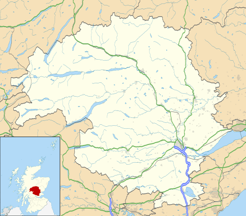 Kilspindie Kilspindie shown within Perth and Kinross | |
| Area | 10.2 sq mi (26 km2) |
| OS grid reference | NO220256 |
| Council area | |
| Lieutenancy area | |
| Country | Scotland |
| Sovereign state | United Kingdom |
| Post town | PERTH |
| Postcode district | PH2 |
| Dialling code | 01821 |
| Police | Scottish |
| Fire | Scottish |
| Ambulance | Scottish |
| EU Parliament | Scotland |
| Scottish Parliament | |
Kilspindie is a village in Perth and Kinross, Scotland.[1] It is situated on the Kilspindie burn, approximately 2 2⁄3 miles (4.3 km) northwest of Errol, 12 miles (19 km) west of Dundee centre and 6 1⁄2 miles (10.5 km) east of Perth.[2] The village has an area of 6,500 acres (10.2 sq mi) of which 3500 acres are arable land and 200 acres are woodland, the local geology is mostly whinstone, amygdule and trap.[3] Records show there was a chappel in the village since at least 1214 though the current church, the Kilspindie and Rait Parish Church, was built in 1670 and refurbished in 1938. [4] The village previously housed the Kilspindie Castle which was demolished before 1670.

In the Ordnance Gazetteer of Scotland (1882–84) Francis Groome described Kilspindie:
Kilspindie, a village and a parish in Gowrie district, SE Perthshire. The village, standing in the mouth of a small glen, 1 mile SSW of Rait, 2⅛ miles NNW of Errol station, and 3⅜ NNE of Glencarse station, had anciently a castle, now extinct, and figures in Blind Harry's narrative as the place where Sir William Wallace, with his mother, found refuge in his boyhood.[5]
References
- ↑ Ordnance Survey: Landranger map sheet 53 Blairgowrie & Forest of Alyth (Map). Ordnance Survey. 2012. ISBN 9780319231210.
- ↑ Google (13 September 2018). "Kilspindie" (Map). Google Maps. Google. Retrieved 13 September 2018.
- ↑ Lewis, Samuel (1846). 'Kilmarnock - Kilspindie', in A Topographical Dictionary of Scotland. British History Online. London. p. 42-61. Retrieved 13 September 2018.
- 1 2 "Kilspindie and Rait Parish Church a Brief History". Clan Cleland.
- ↑ "A Vision of Britain Through Time: Kilspindie". www.visionofbritain.co.uk. GB Historical GIS/University of Portsmouth. Retrieved 18 March 2016.
| Wikimedia Commons has media related to Kilspindie. |