Karamoullides
| Karamoullides Καραμουλλήδες Kervanyolu | |
|---|---|
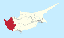
 Karamoullides Location in Cyprus | |
| Coordinates: 34°59′49″N 32°26′38″E / 34.99694°N 32.44389°ECoordinates: 34°59′49″N 32°26′38″E / 34.99694°N 32.44389°E | |
| Country |
|
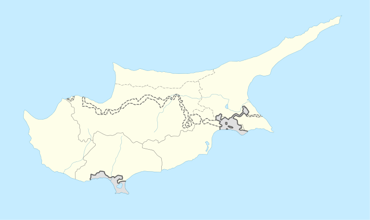
| District | Paphos District |
| Population (2011)[1] | |
| • Total | 33 |
| Time zone | UTC+2 (EET) |
| • Summer (DST) | UTC+3 (EEST) |
| Postal code | 6340 |
Karamoullides (Greek: Καραμουλλήδες, Turkish: Kervanyolu) is a village in the Paphos District of Cyprus, located 4 km (2.5 mi) south of Polis. Before 1974, it was a Turkish Cypriot village with 103 inhabitants in 1973. The inhabitants were relocated to Katokopia and Nikitas and were replaced partially by displaced Greek Cypriots from the north.[2]
References
- ↑ "Population - Place of Residence, 2011". Statistical Service of Cyprus (CYSTAT). 17 April 2014. Archived from the original on 16 October 2014.
- ↑ "KARAMOULLIDES". PRIO Cyprus Center. Retrieved 28 March 2015.
This article is issued from
Wikipedia.
The text is licensed under Creative Commons - Attribution - Sharealike.
Additional terms may apply for the media files.