Kanchrapara-Nagarukhra-Bongaon Intercity Military Road
| Kanchrapara-Nagarukhra-Bongaon Intercity Military Road[1] | |
|---|---|
 | |
| Route information | |
| Maintained by Government of West Bengal | |
| Length | 33 km (21 mi) |
| Existed | early 1949 – present |
| Major junctions | |
| East end | National Highway 112 |
| West end | Kalyani Expressway & National Highway 12 |
| Location | |
| States | West Bengal |
| Districts | Nadia district,[2] North 24 Parganas district |
| Towns | Bongaon, Gaighata, Haringhata, Nagarukhra, Kanchrapara, Kalyani, Gayespur |
| Highway system | |
| |
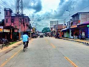
Kanchrapara-Nagarukhra-Bongaon Military Road is an emergency road used by the Indian Army and Border Security Force for special purposes. This road connects many important towns, expressways and highways.
Importance
This major road acts as a bypass to avoid congested roads in towns and cities like Kanchrapara, Barrackpore, Habra, Nagarukhra, and Gaighata.
Length
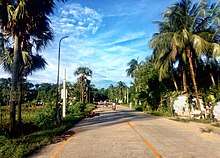
The entire road is 33 km long, running from Kanchrapara Railway Station to Gaighata, Jaleswarmore, via Haringhata and Nagarukhra.
Intersection
This road is connected to two national highways and one expressway. In Kanchrapara it intersects with Kalyani Expressway. At Bara-jagulia it crosses over the National Highway 12. In Nagarukhra it intersects with three different roads, Habra Road, Nimtala Road and Ashokenagar-Kalyangarh Rd. In Gaighata it intersects with National Highway 112.