Kalagi, Mukono
| Kalagi, Mukono | |
|---|---|
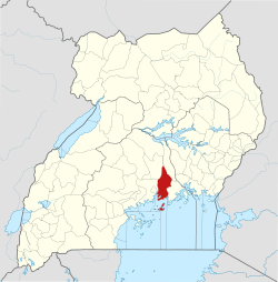
 Kalagi, Mukono Location in Uganda | |
| Coordinates: 00°30′18″N 32°45′00″E / 0.50500°N 32.75000°E | |
| Country |
|
| District | Mukono District |
| Elevation | 3,840 ft (1,170 m) |
Kalagi is a town in Mukono District in the Central Region of Uganda.
Location
The town is approximately 10 miles (16 km) north of Mukono, the district headquarters, on an all weather tarmac road. In Kalagi, the road from Mukono forms a T-junction with the road from Kasangati to Kayunga. The coordinates of Kalagi are 0°30'18.0"N, 32°45'00.0"E (Latitude:0.5050; Longitude:32.7500).[1]
Points of interest
The following additional points of interest lie within the town or near its edges:
- offices of Kalagi Town Council
- Kalagi central market
External links
Photos
References
- ↑ Google (21 July 2015). "Location of Kalagi, Mukono At Google Maps" (Map). Google Maps. Google. Retrieved 21 July 2015.
Capital: Mukono | ||
| Counties and sub-counties |
|  |
| Towns and villages | ||
| Economy |
| |
| Banking | ||
| Notable landmarks | ||
| Transport | ||
| Education | ||
| Energy | ||
| Health | ||
| Notable people | ||
This article is issued from
Wikipedia.
The text is licensed under Creative Commons - Attribution - Sharealike.
Additional terms may apply for the media files.