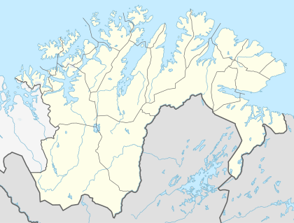
Kåfjord, Nordkapp
| Kåfjord | |
|---|---|
| Village | |
 Kåfjord Location in Finnmark  Kåfjord Kåfjord (Norway) | |
| Coordinates: 70°52′34″N 25°45′19″E / 70.87611°N 25.75528°ECoordinates: 70°52′34″N 25°45′19″E / 70.87611°N 25.75528°E | |
| Country | Norway |
| Region | Northern Norway |
| County | Finnmark |
| District | Vest-Finnmark |
| Municipality | Nordkapp |
| Elevation[1] | 10 m (30 ft) |
| Time zone | UTC+01:00 (CET) |
| • Summer (DST) | UTC+02:00 (CEST) |
| Post Code | 9768 Repvåg |
Kåfjord is a small village in Nordkapp Municipality in Finnmark county, Norway. It is located on the Porsanger Peninsula, along the Kåfjorden, an arm off the main Porsangerfjorden.
Before the construction of the North Cape Tunnel on the European route E69 highway, Kåfjord was the southern terminus of the ferry route between the mainland and the town of Honningsvåg on the island of Magerøya.
History
During the Second World War, the area was under German occupation and several major ships were harbored here, including the German battleship Tirpitz. The British Operation Source in September, 1943 was an attempt to neutralise the heavy German warships. Six midget submarines or X-Craft were used but only two successfully laid charges (under the Tirpitz). Crafts X6 and X7, commanded by Lt Donal Cameron and Lt Godfrey Place, respectively, were successful. Tirpitz was badly damaged, crippled, and out of action until May 1944; it was destroyed on 12th November 1944 by Avro Lancaster bombers, during Operation Catechism in Tromsø, Norway.[2]
References
- ↑ "Kåfjord" (in Norwegian). yr.no. Retrieved 2013-02-15.
- ↑ "Lost heroes of the 'Tirpitz'". BBC History. BBC. 17 February 2011. Retrieved 21 August 2018.