Juniper, Georgia
| Juniper | |
|---|---|
| Unincorporated community | |
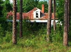 Juniper in 2012. | |
 Juniper Location within the state of Georgia  Juniper Juniper (the US) | |
| Coordinates: 32°31′53″N 84°36′16″W / 32.53139°N 84.60444°WCoordinates: 32°31′53″N 84°36′16″W / 32.53139°N 84.60444°W | |
| Country | United States |
| State | Georgia |
| County | Marion |
| Elevation | 413 ft (126 m) |
| Time zone | UTC-5 (Eastern (EST)) |
| • Summer (DST) | UTC-4 (EDT) |
| GNIS feature ID | 332126 |
Juniper is an unincorporated community in Marion County, Georgia, United States. It lies along State Route 355 on the Talbot County line, to the north of the city of Buena Vista, the county seat of Marion County.[1] Its elevation is 413 feet (126 m).[2] It is part of the Columbus, Georgia Metropolitan Area.
References
- ↑ Rand McNally. The Road Atlas '05. Skokie: Rand McNally, 2005, p. 28.
- ↑ U.S. Geological Survey Geographic Names Information System: Juniper, Georgia, Geographic Names Information System, 1979-09-25. Accessed 2007-12-26.
Municipalities and communities of Marion County, Georgia, United States | ||
|---|---|---|
| City | 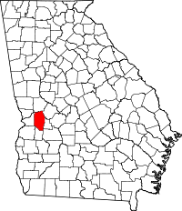 | |
| Unincorporated communities |
| |
| Central cities/Largest cities | 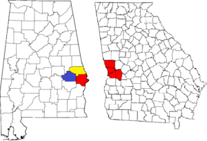 Location of the Columbus, Georgia-Auburn, Alabama CSA and its counties:
Columbus, Georgia Metropolitan Statistical Area
Auburn, Alabama Metropolitan Statistical Area
Tuskegee, Alabama Micropolitan Statistical Area (defunct) | |
|---|---|---|
| Cities in Georgia | ||
| Cities in Alabama | ||
| Counties in Georgia | ||
| Counties in Alabama | ||
This article is issued from
Wikipedia.
The text is licensed under Creative Commons - Attribution - Sharealike.
Additional terms may apply for the media files.