Jandari Lake
| Jandari Lake | |
|---|---|
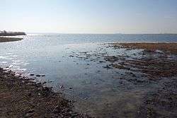 Northeast shore (Georgian side) | |
 Jandari Lake 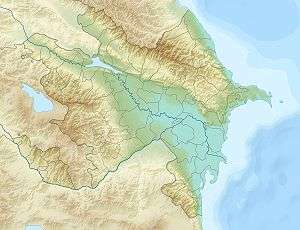 Jandari Lake | |
| Coordinates | 41°25′30″N 45°13′01″E / 41.42500°N 45.21694°E |
| Catchment area | 102 km2 (39 sq mi) |
| Basin countries |
Georgia Azerbaijan |
| Max. length | 6.4 km (4.0 mi) |
| Max. width | 3 km (1.9 mi) |
| Average depth | 3.75 m (12.3 ft) |
| Max. depth | 7.2 m (24 ft) |
| Water volume | 51 million cubic metres (1.8×10⁹ cu ft) |
| Surface elevation | 291.4 m (956 ft) |
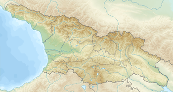
Jandari Lake (Georgian: ჯანდარის ტბა; Azerbaijani: Candargöl) is a lake on Georgia-Azerbaijan border, it is located in south-east Georgia and north-west Azerbaijan, at 291,4 Metres above sea level. The area of surface is 10.6 km², while the catchment area is 102 km². Maximal depth is 7.2 m.[1] Some 67% of the basin is located on Georgian territory and 33% in Azerbaijan.[2]
References
- ↑ Georgian Soviet Encyclopedia I. Apkhazava, V. 11, p. 538, 1987
- ↑ Drainage basin of the caspian sea
Coordinates: 41°25′33″N 45°13′03″E / 41.42583°N 45.21750°E
| Wikimedia Commons has media related to Lake Jandari. |
| Eastern Georgia |
| ||||
|---|---|---|---|---|---|
| Western Georgia |
| ||||
| Major rivers | |
|---|---|
| Major lakes | |
| Major reservoirs | |
This article is issued from
Wikipedia.
The text is licensed under Creative Commons - Attribution - Sharealike.
Additional terms may apply for the media files.