Jamuna, Nepal
| Jamuna, Nepal जमुना | |
|---|---|
| Village Development Committee | |
 A picture of Rice Fields in Jamuna, Nepal | |
 Jamuna, Nepal Location in Nepal | |
| Coordinates: 27°01′N 87°59′E / 27.017°N 87.983°ECoordinates: 27°01′N 87°59′E / 27.017°N 87.983°E | |
| Country |
|
| Zone | Mechi Zone |
| District | Ilam District |
| Population (1991) | |
| • Total | 3,277 |
| Time zone | UTC+5:45 (Nepal Time) |
| Postal code | 57309 |
| Area code(s) | 027 |
Jamuna is a town and Village Development Committee in Ilam District in the Mechi Zone of eastern Nepal. At the time of the 1991 Nepal census it had a population of 3,277 persons living in 567 individual households.[1]
References
- ↑ "Nepal Census 2001". Nepal's Village Development Committees. Digital Himalaya. Archived from the original on 12 October 2008. Retrieved 17 September 2008.
External links
Headquarter: Ilam | ||
| Rural Municipalities | 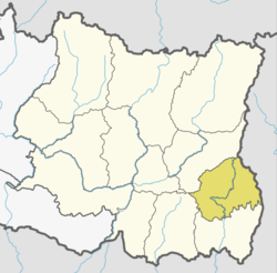 | |
| Municipalities | ||
This article is issued from
Wikipedia.
The text is licensed under Creative Commons - Attribution - Sharealike.
Additional terms may apply for the media files.