Jalpapur
| Jalpapur जल्पापुर | |
|---|---|
| Village development committee | |
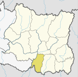
 Jalpapur Location in Nepal | |
| Coordinates: 26°33′N 87°08′E / 26.55°N 87.14°ECoordinates: 26°33′N 87°08′E / 26.55°N 87.14°E | |
| Country |
|
| Zone | Kosi Zone |
| District | Sunsari District |
| Population (1991) | |
| • Total | 4,256 |
| Time zone | UTC+5:45 (Nepal Time) |
Jalpapur is a village development committee in Sunsari District in the Kosi Zone of south-eastern Nepal.It is bounded by satterjhora in the east ,Gautampur in the south and Ramnagar in southwest and Babia in the North Respectively. At the time of the 1991 Nepal census it had a population of 4256 people living in 663 individual households.[1]
References
- ↑ "Nepal Census 2001". Nepal's Village Development Committees. Digital Himalaya. Archived from the original on 12 October 2008. Retrieved 2 December 2008.
This article is issued from
Wikipedia.
The text is licensed under Creative Commons - Attribution - Sharealike.
Additional terms may apply for the media files.