Hrádek nad Nisou
| Hrádek nad Nisou | |||
| Town | |||
 Upper Square | |||
|
|||
| Country | Czech Republic | ||
|---|---|---|---|
| Region | Liberec | ||
| District | Liberec | ||
| Commune | Liberec | ||
| Municipality | Hrádek nad Nisou | ||
| River | Lusatian Neisse | ||
| Elevation | 255 m (837 ft) | ||
| Coordinates | 50°51′10″N 14°50′40″E / 50.85278°N 14.84444°ECoordinates: 50°51′10″N 14°50′40″E / 50.85278°N 14.84444°E | ||
| Area | 48.54 km2 (18.74 sq mi) | ||
| Population | 7,363 (2005) | ||
| Density | 152/km2 (394/sq mi) | ||
| First mentioned | 1288 | ||
| Mayor | Josef Horinka | ||
| Timezone | CET (UTC+1) | ||
| - summer (DST) | CEST (UTC+2) | ||
| Postal code | 463 34 | ||
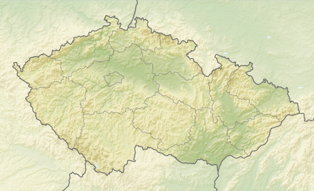 Location in the Czech Republic | |||
| Wikimedia Commons: Hrádek nad Nisou | |||
| Statistics: statnisprava.cz | |||
| Website: www.hradek.cz | |||


Hrádek nad Nisou (Czech pronunciation: [ˈɦraːdɛk ˈnad ɲɪsou̯]; German: Grottau, Polish: Gródek nad Nysą) is a town in the Czech Republic.
History

Until 1918, the town was part of the Austrian monarchy (Austria side after the compromise of 1867), in the REICHENBERG (Liberec) district, one of the 94 Bezirkshauptmannschaften in Bohemia.[1] From 1938 to 1945 it was one of the municipalities in Sudetenland.
International relations
Twin towns — Sister cities
Hrádek nad Nisou is twinned with:
References
- ↑ Die postalischen Abstempelungen auf den österreichischen Postwertzeichen-Ausgaben 1867, 1883 und 1890, Wilhelm KLEIN, 1967
External links
- Municipal website

This article is issued from
Wikipedia.
The text is licensed under Creative Commons - Attribution - Sharealike.
Additional terms may apply for the media files.