Hlabta
| Hlabta حلبتا | |
|---|---|
| Village | |
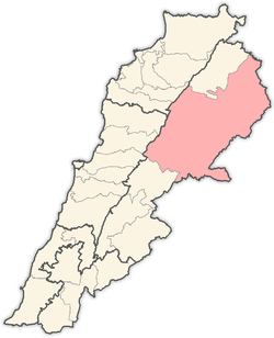
 Hlabta Location in Lebanon | |
| Coordinates: 34°15′19″N 36°17′15″E / 34.25528°N 36.28750°ECoordinates: 34°15′19″N 36°17′15″E / 34.25528°N 36.28750°E | |
| Country |
|
| Governorate | Baalbek-Hermel Governorate |
| District | Baalbek District |
| Elevation | 3,900 ft (1,200 m) |
| Time zone | UTC+2 (EET) |
| • Summer (DST) | +3 |
Hlabta (Arabic: حلبتا) is a village located in the Baalbek District of the Baalbek-Hermel Governorate in Lebanon.[1]
References
- ↑ "Hlabta (Baalbek)". Localiban. Localiban. 2007-12-07. Retrieved 2017-12-01.
Capital: Baalbek | ||
| Towns and villages |
|  |
| Other | ||
This article is issued from
Wikipedia.
The text is licensed under Creative Commons - Attribution - Sharealike.
Additional terms may apply for the media files.