Harrowden, Bedfordshire
| Harrowden | |
|---|---|
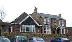 The Gate public house in 2008 (Now closed and is a house) | |
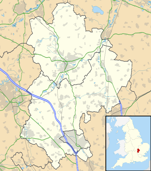 Harrowden Harrowden shown within Bedfordshire | |
| Area | 0.093 km2 (0.036 sq mi) |
| Population | 32 |
| • Density | 344/km2 (890/sq mi) |
| OS grid reference | TL068894 |
| Civil parish | |
| Unitary authority | |
| Ceremonial county | |
| Region | |
| Country | England |
| Sovereign state | United Kingdom |
| Post town | BEDFORD |
| Postcode district | MK42 |
| Dialling code | 01234 |
| Police | Bedfordshire |
| Fire | Bedfordshire and Luton |
| Ambulance | East of England |
| EU Parliament | East of England |
| UK Parliament | |
Harrowden is a one-street hamlet in the civil parish of Eastcotts, in Bedfordshire.
Harrowden has only 18 houses and 32 people on the electoral roll. Elstow Brook runs through it. There is just one road - Old Harrowden Lane - which leads to a footpath known as Bumpy Lane, from where you can access the birthplace of John Bunyan, now simply marked by a stone.[1]
The street runs from east to west parallel and to the south of the A421 Bedford Southern Bypass, and 200 metres to the north of the village of Shortstown. There is a path at the west side of Harrowden named Bumpy Lane that leads to Abbey Fields. Like Shortstown, Harrowden is in the Eastcotts parish, of the Borough of Bedford.
History
Harrowden is mentioned in the Domesday Survey of 1086, though by the 13th century the area became known as Eastcotes or Cotes. The name derives from the Old English name for a cottage - 'cotum'.
Other
- John Bunyan, the noted Christian writer, was born in Harrowden. (See also Slough of Despond).
- The name of the hamlet comes from the Old English Hearg-dūn, meaning "Temple Hill".
References
- ↑ "Eastcotts Parish Council | About Eastcotts Parish". eastcottsparishcouncil.bedsparishes.gov.uk. Retrieved 2018-05-13.
External links
- Map sources for Harrowden, Bedfordshire
Places adjacent to Harrowden, Bedfordshire | ||||||||||
|---|---|---|---|---|---|---|---|---|---|---|
| ||||||||||
| Wikimedia Commons has media related to Harrowden. |